What’s to love
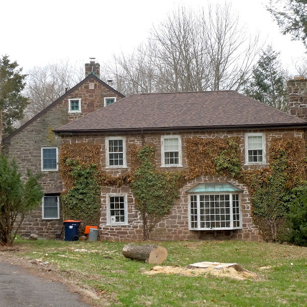
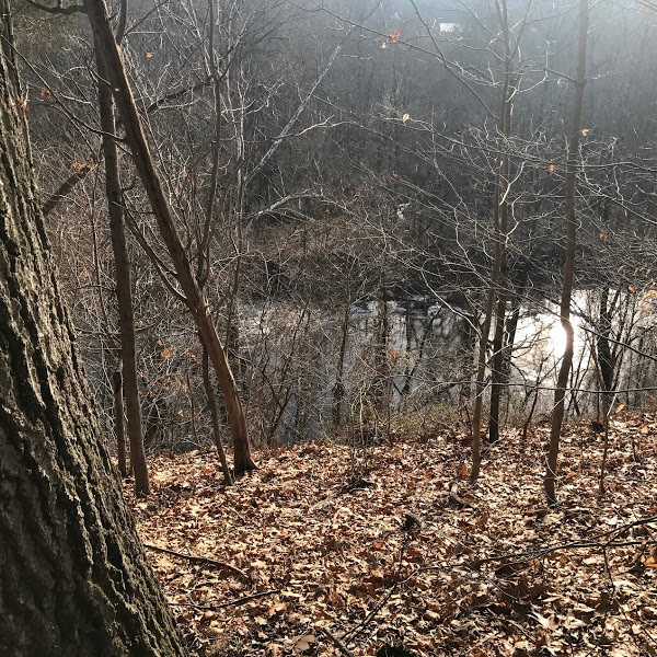
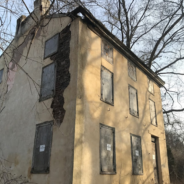
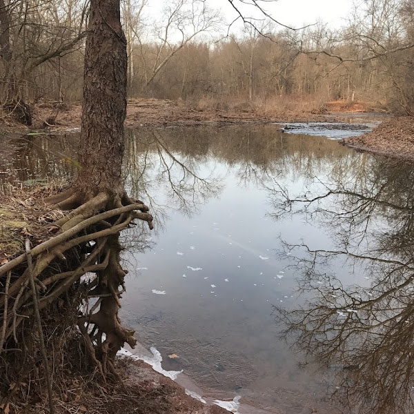
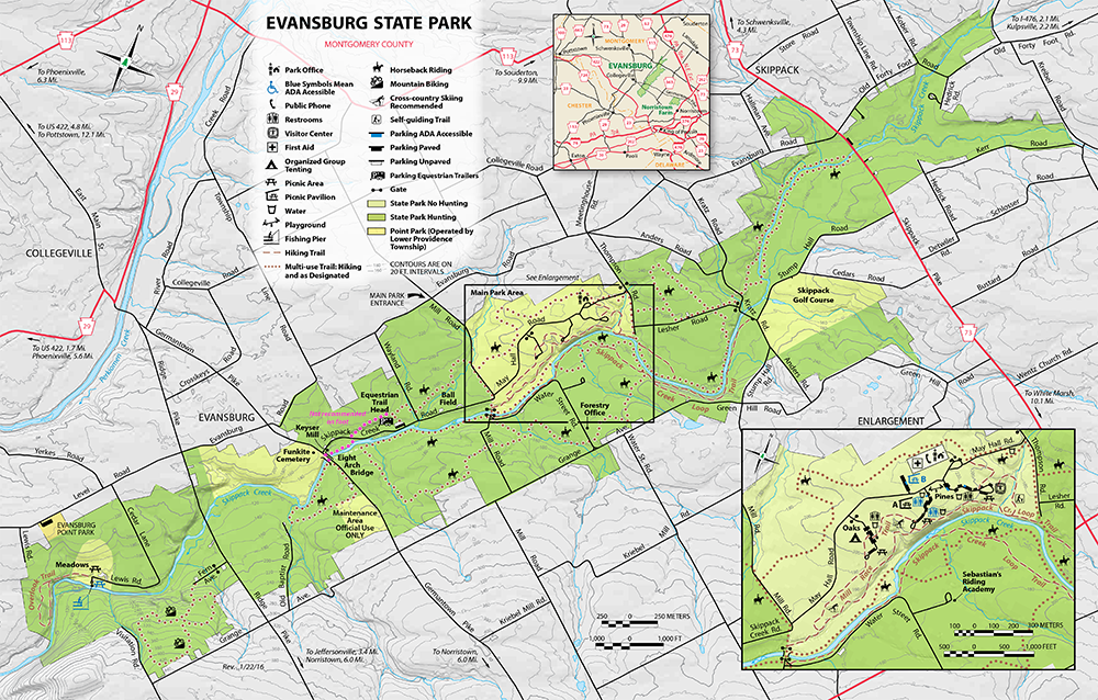
Situated on the banks of the Skippack Creek between Norristown and Collegeville, this large natural space was set aside from suburban development in 1979. The land here was purchased from the Lenape and settled first by Mennonites. Several mill and farmhouse buildings from centuries past still scatter the area.
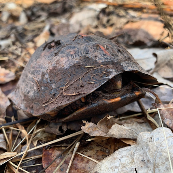
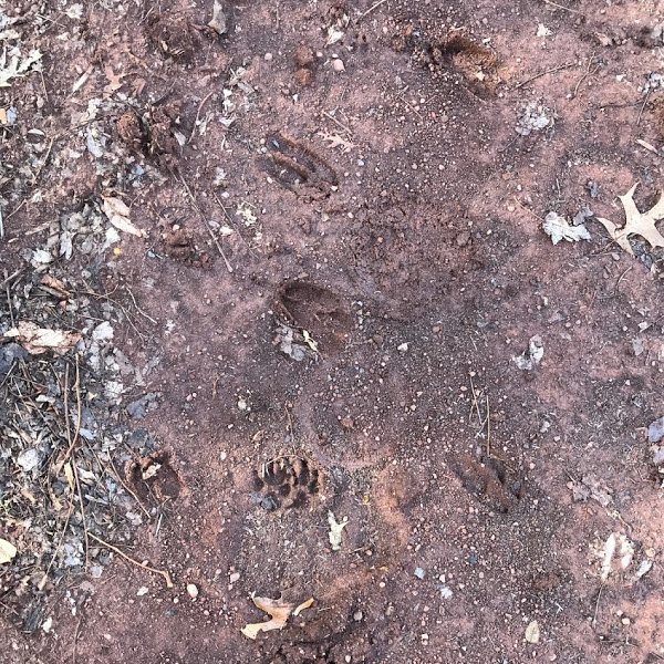
Today, Evansburg State Park hosts plenty of outdoor activities, including trout fishing, hunting (in season), horseback riding, cross-country skiing, camping…there’s even a golf course, if that’s your thing. There’s plenty of wildlife on display, too—my visit featured a woodpecker, many deer, and a red fox nonchalantly strolling by.
Tips and quirks
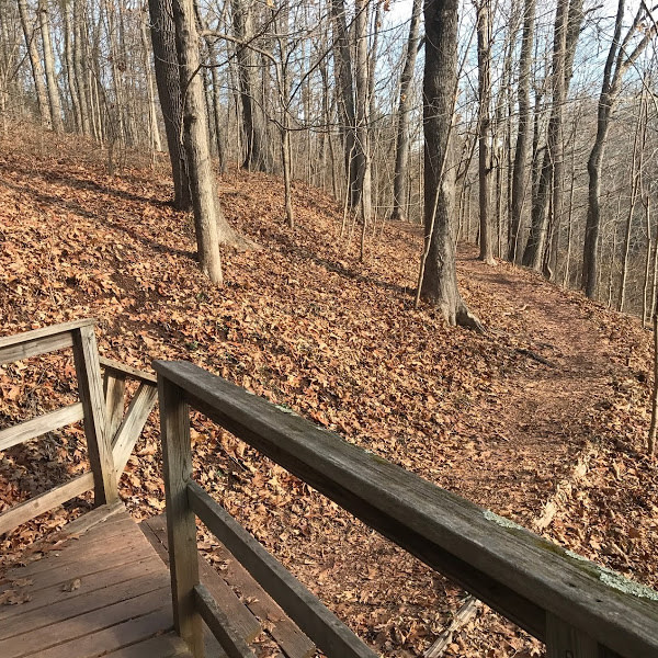
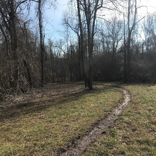
- Most of Evansburg’s trails (15 miles of them) are designated as equestrian paths, and they can be tricky. They’re often narrow, not well marked, and they’re sometimes wrong on the PA State Park map. Largely, you can trust the interactive map on this page (though even this map leaves a few connections off).
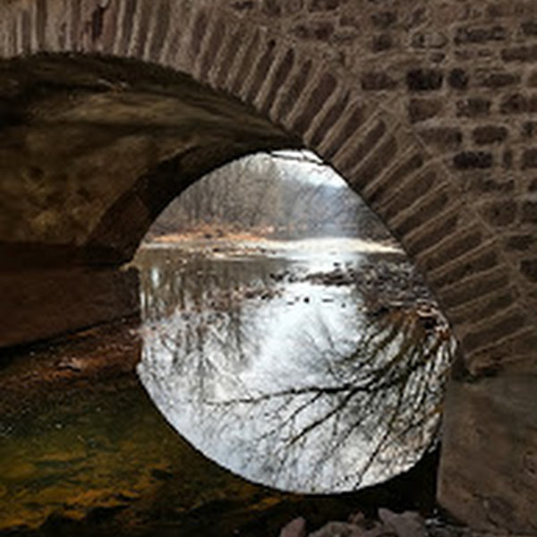
- I’ve doctored the PA State Park map to point out one important flaw: this trail marked in pink does not seem to exist. I tried. And the Eight Arch Bridge that indicates you can cross it? I really would not recommend it. The bridge has no shoulders and traffic moves quickly.
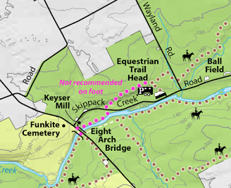 Basically, if you cross the creek at the Mill Road pedestrian bridge, prepare to return the same way.
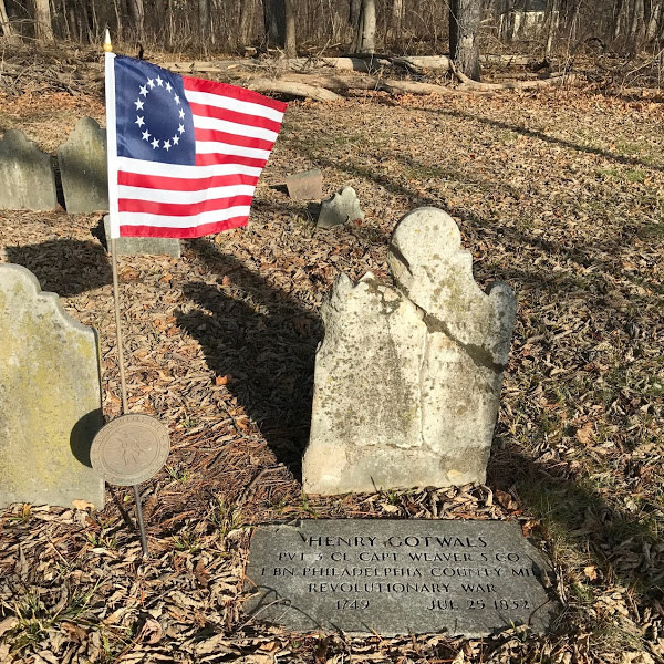
 - Just off of Germantown Pike on the south side, there’s a tiny, ancient-looking graveyard of a Mennonite splinter group called the Funkites hidden in the woods. It features the grave of a Revolutionary War soldier. I found it by getting hopelessly lost, but if you were trying to get there deliberately I might park at the nearby florist.
 Basically, if you cross the creek at the Mill Road pedestrian bridge, prepare to return the same way.
Spotted here recently (via
 )
)
Like this? Tip us a buck or two!
Last updated: April 16, 2021
A small disclaimer: This website is not affilitated with the City of Philadelphia, its parks department, local non-profits, or any state or federal organization. Opinions reflected here are solely the author's: a regular person who happens to enjoy hiking. Like all outdoor activities, hiking carries some risks (including medical and personal safety risks) and requires preparation and supplies. Routes and conditions may have changed since this post was written. Make sure you follow all posted rules and local laws, as certain activities (like off-leash dogs or leaving marked trails) are frequently prohibitied.